
![Haute Provence [fr]](/images/version_francais.gif)
![Haute Provence [en]](/images/version_english.gif)
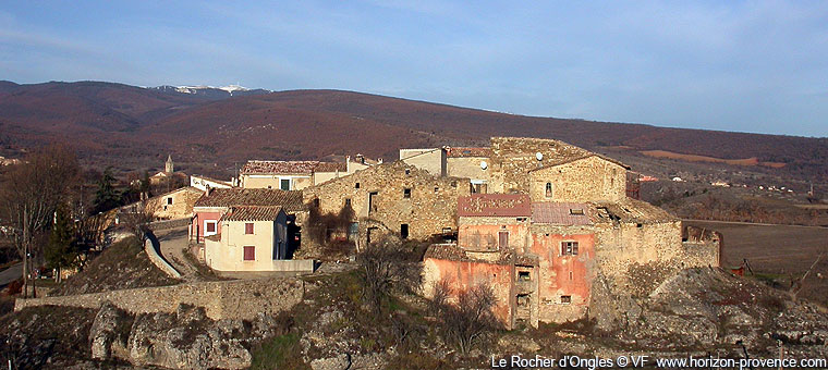
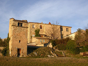
Le Rocher d'Ongles

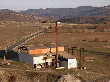
Lavender Distillery in Ongles
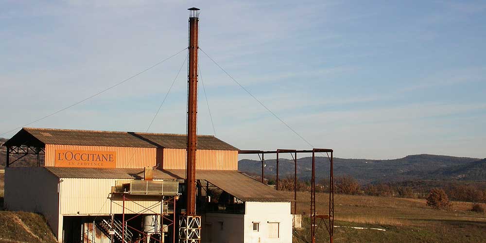
Lavender Distillery in Ongles
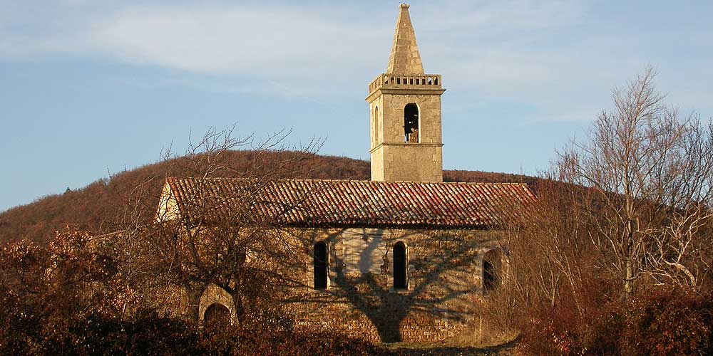
Chapelle Notre-Dame in Ongles
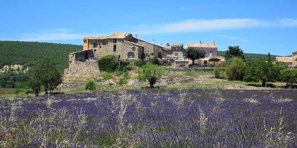
Lavender field behind the Rocher d'Ongles
Chapel Notre-Dame in Ongles
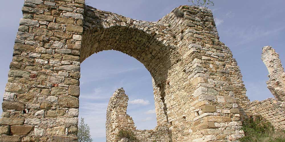
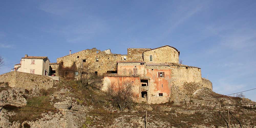
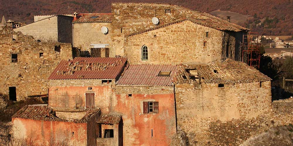
Vière old village d'Ongles
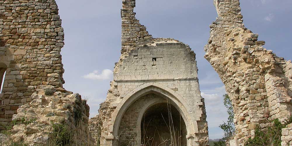
Vière old village d'Ongles
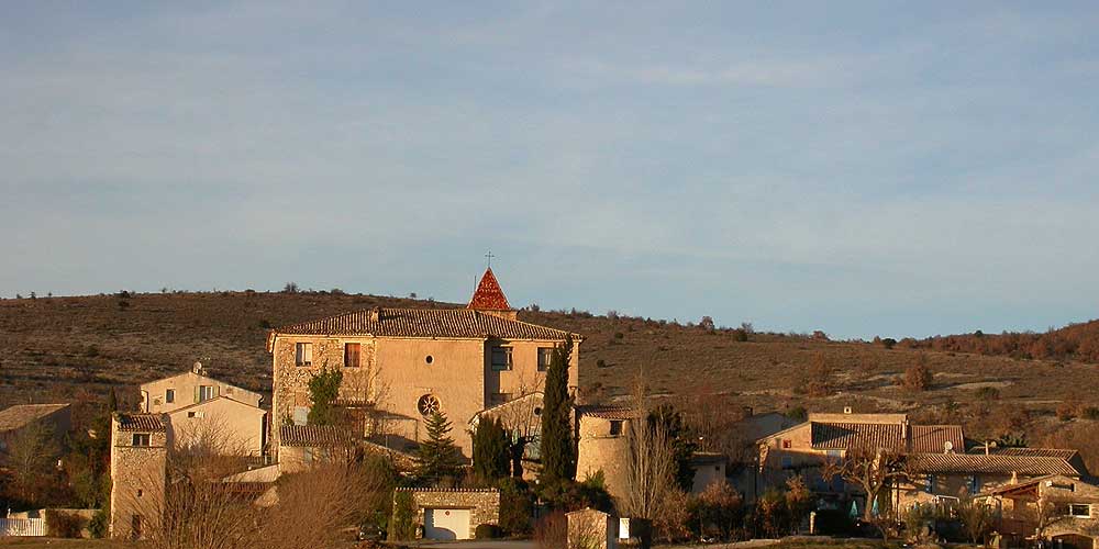
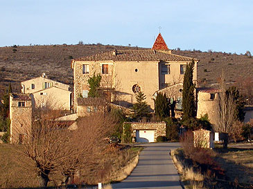
Ongles the village
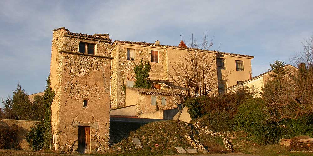
Ongles the village
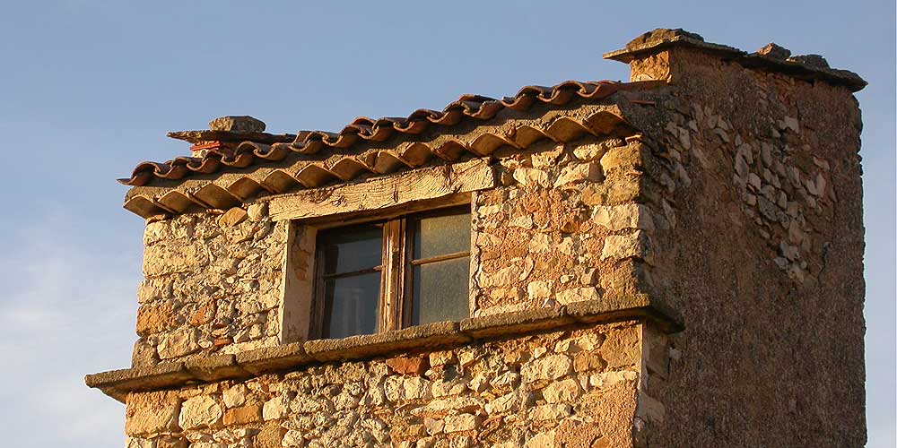
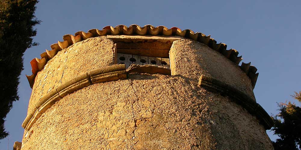
Le Rocher d'Ongles
Ongles the village

Le Rocher d'Ongles
Ongles the village
Le Rocher d'Ongles
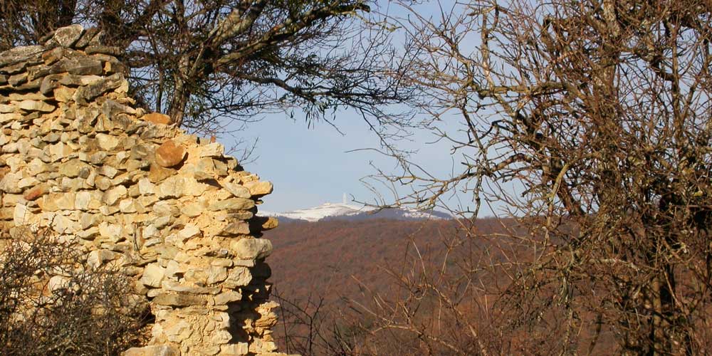
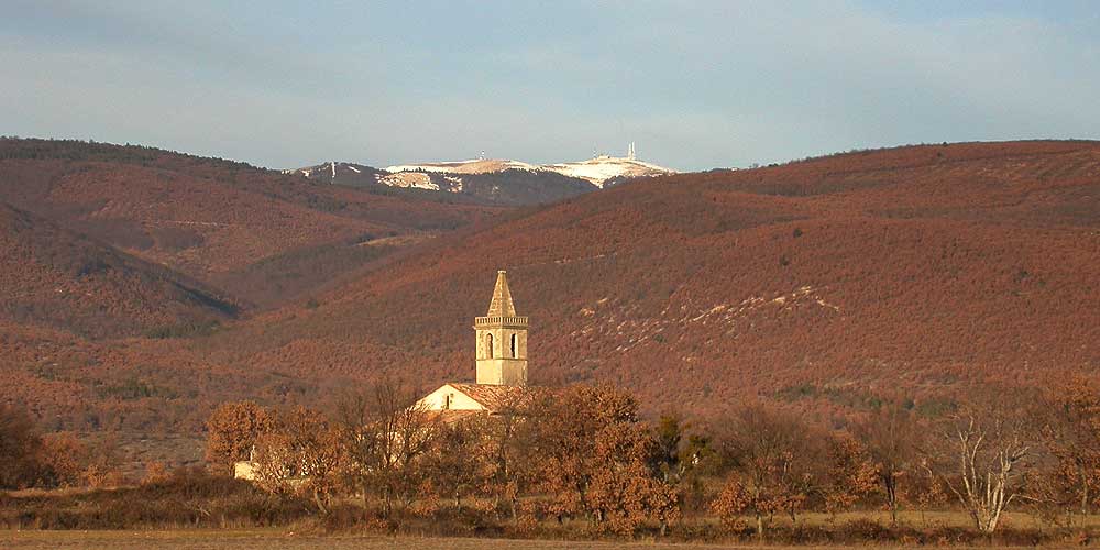
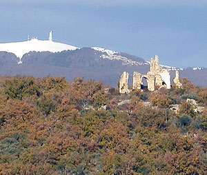
Ongles and the Lure Mountain

Vière and the Lure Mountain
Le Rocher d'Ongle offers an exceptional view in the light of Provence, a treasure for painter or photographer. Small hamlet of tightened houses on an isolated rock, with the top of the Montagne de Lure in background, it dangled the light of the setting sun in a landscape as only Haute-Provence holds
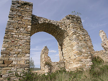
One mile away from the Rocher d'Ongles from the village of Ongles, build around a 17th century castle, at the foot of the hill of Vière where the original medieval village stood. The ancient village is now completely ruined. The hill is crowned at the top by the remnants of the church of Saint-Barthelemy in the 12th century. A path allows fairly easy to access the oaks and olive trees that cover the collapsed old houses.
From the 17th century the inhabitants left the old village, too far from the fields and where the water supply was difficult, they disperse into the plain, forming the current hamlets. Vière is finally totally abandonned at the end of the 19th century

Accommodation
 • Bed
and breakfast near Ongles and the Montagne de Lure on the website of B&B of Provence
• Bed
and breakfast near Ongles and the Montagne de Lure on the website of B&B of Provence
Coming to Ongles
GPS coordinates 44°01'38'' N - 5°44'01'' E
Situation :627 meters above sea level, 350 inhabitants, 4 miles from Saint-Etienne-les-Orgues 7,5 miles from Mane, 8 miles from Banon, 8,5 miles from Forcalquier, 11 miles from Sigonce, 14 miles from Simiane-la-Rotonde, 21 miles from Manosque, 22 miles from Sisteron, 27 miles from d’Apt