
![Haute Provence [fr]](/images/version_francais.gif)
![Haute Provence [en]](/images/version_english.gif)

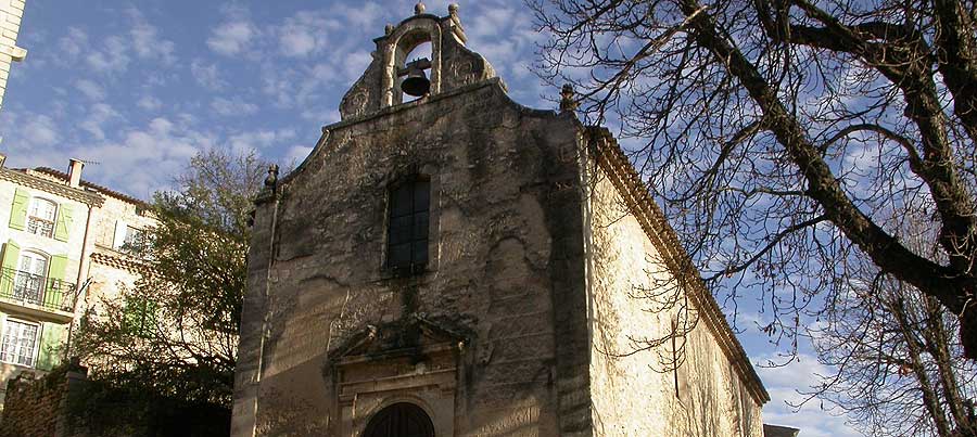

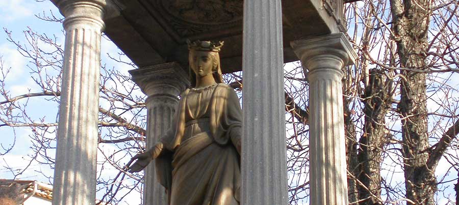
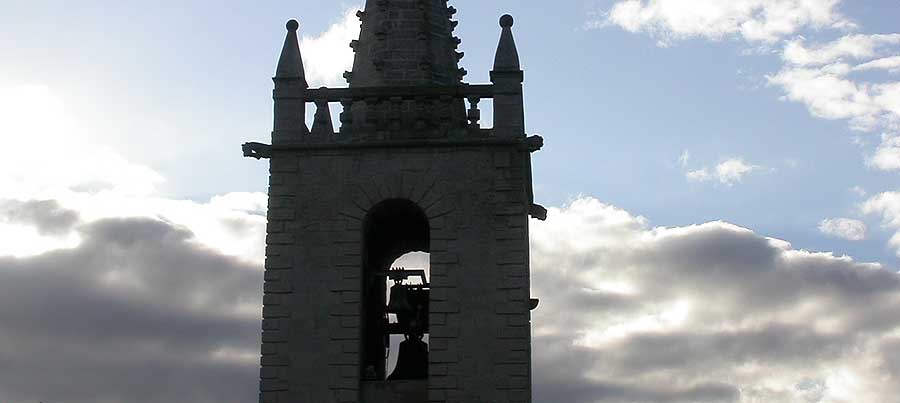

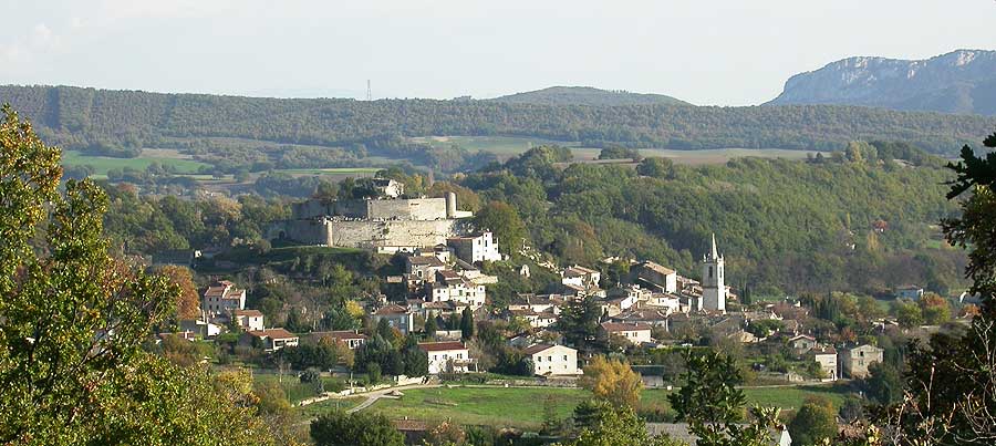
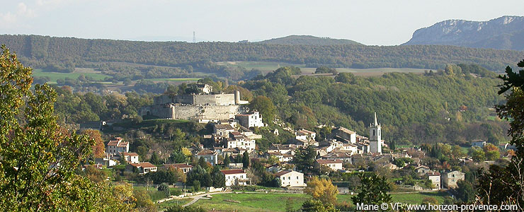
Mane is located on a hill in the plain between the Lure Mountain and the eastern end of the Luberon, a few kilometers west of Forcalquier.
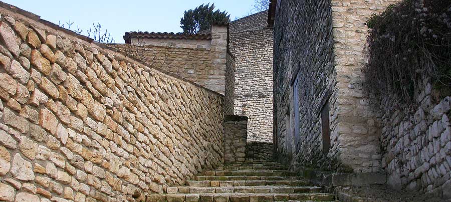
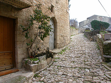
The double walls of the citadel of Mane crown the village at the top of the mound. It dates from the 12th century and is in very good condition. You can get up to the wall by the cobbled streets of the old town, but the monument is not open, it's private property. From the foot of the citadel visitors can admire views towards Forcalquier to the east, Saint-Michel-l'Observatoire to the west and southward the plains to the Luberon.

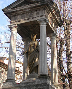
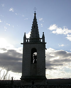
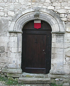
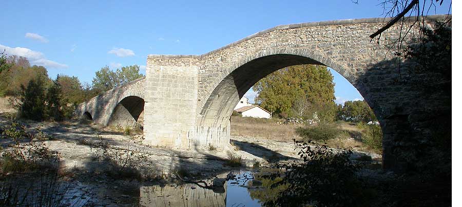
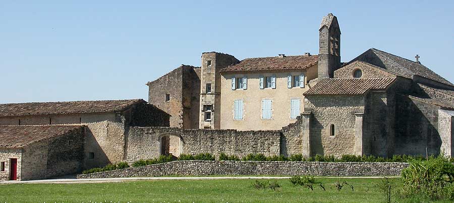
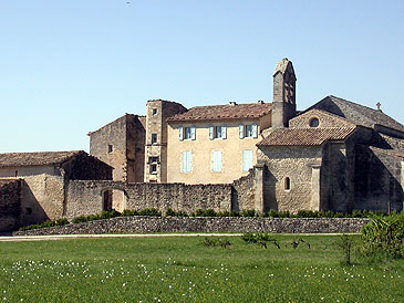
The ancient Roman road Via Domitia passes through Mane. A very well preserved Romanesque bridge crosses the Laye, the river that descends from the mountain of Lure. The Priory of Notre-Dame-de-Salagon, a Romanesque 12th century building, houses the "Ethnological Museum of the Haute Provence" created in 1981 and designated a regional centre for ethnological research. It is surrounded by several ethnobotanical gardens including a medieval garden, a scented garden, a garden of medicinal plants and plants traditionally grown in villages. It is a popular centre for sharing knowledge and culture.

Accommodation and information
 selection
of bed and breakfast in Haute Provence near Mane and Forcalquier
selection
of bed and breakfast in Haute Provence near Mane and Forcalquier
Internet website of the town of Mane : www.mane-en-provence.com
Coming to Mane
GPS coordinates 43°56'21'' N - 5°46’06’’ E
Location : 1400 inhabitants, 450 metres above sea level , 2 miles from Forcalquier, 4 miles from Dauphin, 5 miles from Ongles, 10 miles from Saint-Etienne-les-Orgues, 12 miles from Manosque, 14 miles from Banon, 23 miles from Apt.